 Marrakech Guidebook
How 1912 Split Marrakech Into Two Cities
Last reviewed 2026-09-09
Two things happened to Marrakech in 1912. A protectorate was imposed on Morocco on 30 March, and French troops took the city that September after a battle north of it. What the 1912 French protectorate did next was not the demolition and widening that nineteenth-century European administrations inflicted on other old cities. It was the opposite: a new town was laid out on open ground to the west, on a grid, with avenues wide enough for cars, and the walled city of 1,107 hectares was left more or less alone. That single planning decision is why the medina survived intact enough for UNESCO to inscribe it in 1985, and it is also why a visitor booking a bed here today is choosing between two places with two different answers to the question of whether a vehicle can reach the door. This piece follows the decision through to the present, using what can be sourced and saying so where it cannot. It is part of the Marrakech this guidebook covers.
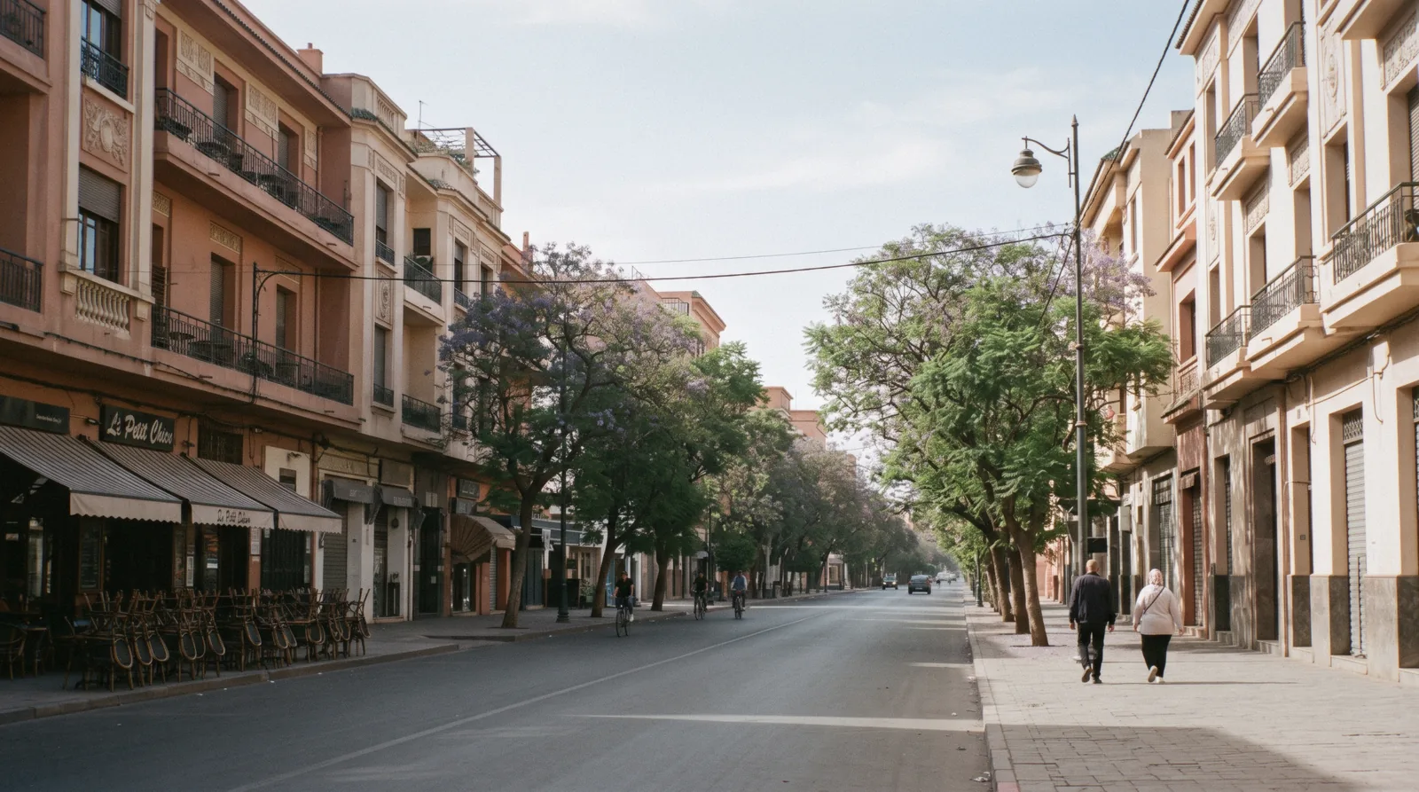
Quick answer What 1912 changed, what it left alone, and why it still decides where you sleep
The French protectorate was established on 30 March 1912 and Marrakech fell to French forces that September. Rather than rebuild inside the ramparts, the administration built a separate town outside them, on a grid, west of the walls. The old city kept its lanes and its scale, which is the reason UNESCO could inscribe it in 1985 as a living historic town, and the new one got pavements and traffic. Both cities are still there, and the boundary between them is a wall you can walk through in a minute.
Key takeaways
- The inscribed property is 1,107 hectares and UNESCO says its boundary is correctly defined by the original ramparts, which is a polite way of saying the walls were never breached: the old city explained
- Criterion five of that inscription describes 700 hectares of ancient habitat, a living historic town of lanes, houses, souks and fondouks, rendered vulnerable by demographic change
- The new town on the other side of the wall is Gueliz, one of the five arrondissements of Marrakech in its own right, with 219,863 residents at the 2024 census against 81,103 inside the walls
- The practical inheritance is vehicle access: a car reaches a Gueliz address and frequently cannot reach a medina one, which is the real decision behind where to stay
- Two of the city's best-known modern sights sit in the new town because it existed: the garden a French painter began there in the 1920s, and the hotel built in 1925 by Henri Prost, one of the protectorate's own architects
What Actually Happened In 1912
The sequence is well recorded even where the details are argued over. Morocco had spent the previous decade under mounting pressure: the Algeciras Conference of 1906 limited its sovereignty, the murder of a French physician in Marrakech in 1907 was used as the pretext for sending troops from Algeria into Oujda, and southern aristocrats including High Atlas tribal leaders pledged allegiance to a rival sultan. The French Protectorate in Morocco was established on 30 March 1912. In September of that year, after the Battle of Sidi Bou Othman defeated the forces of Ahmed al-Hiba, French troops took Marrakech, a conquest made easier by the Glaoui family and their tribes changing sides, and followed by a massacre of city residents in the disorder.
The protectorate lasted 44 years, from 1912 to 1956, and for almost all of it one man ran the city. T'hami El Glaoui became pasha of Marrakech and held the post for virtually the whole 44 years of the protectorate, from 1912 to 1956. He is the figure the city's twentieth century runs through: a collaborator with the residency, famous for his lifestyle, eventually part of a plot to depose Mohammed Ben Youssef. Neither the nationalist movement nor French policy could be held off indefinitely, and a protocol granting independence was signed on 2 March 1956.
What the city was like before it
The city the French arrived at was already eight centuries old and already red. The walls were built by Ali ibn Yusuf in 1122 to 1123, and the red sandstone construction that followed them is where the Red City and Ochre City nicknames come from. The colour is a building material rather than a paint scheme or a modern by-law, which is worth knowing before you read anything claiming the protectorate imposed it.
One line from the historical record does more to explain the shape of the old city than any description of its architecture. Until 1867, European Christians could not enter Marrakech without special permission from the sultan, while eastern European Jews were permitted. And until the arrival of the French in 1912, Jews could not own property outside the Mellah, so the whole growth of that quarter was contained within its own limits, which is why its streets are narrow, its shops small and its buildings taller than their neighbours. That is not decorative charm. It is a legal constraint written into the fabric, and it is still legible when you walk the Mellah today.
The protectorate chronology, the pasha's tenure, the 1867 entry restriction and the Mellah property rule are as recorded on the English Wikipedia article for Marrakesh, read in Q3 2026. Where a claim below could not be traced to an official Moroccan source, this page says so.
The Decision That Made Two Cities
The protectorate's urban policy in Morocco was to build beside old cities rather than through them. Marrakech is the clearest surviving example of it, and the consequences are entirely practical.
West of the ramparts, on open ground below the low hill the district takes its name from, a new town went up: wide avenues, a grid, buildings set back behind pavements, and a scale designed around the motor car at exactly the moment the motor car was arriving. Nothing about that plan resembles the city on the other side of the wall, and nothing about it was meant to.
Here is where honesty is required. Every popular account gives a founding date and they do not agree: one well-known travel magazine says the new town was built by the French in 1912 and grew out of a colonial garrison camp, another guide says simply that it went up in the early 1900s and stayed small until this century. We could not find any Moroccan government source that publishes a founding document, a date or a boundary map for the district. The commune publishes lists of arrondissement presidents rather than urban plans, and the national tourist office describes the district without drawing it. So treat the dates in circulation as contested, and hold on to what is verifiable: that the district exists, that it is one of the five arrondissements of Marrakech in law, and that its street pattern is not the medina's.
What got built in the new town, and what that tells you
Two buildings date the place better than any founding claim. La Mamounia, the hotel that has stood for the city's international reputation ever since, was built in 1925 in an Art Deco and Moroccan fusion style by Henri Prost and A. Marchis. Prost is one of the names attached to protectorate urbanism in Morocco, and a hotel of that size going up on that ground in 1925 tells you the new town was already a going concern.
The second is a garden. Jacques Majorelle, a French painter, began planting his garden from 1923, and he did it out here rather than inside the walls because out here was where a foreigner could buy a plot and build a studio with a road to it. Yves Saint Laurent and Pierre Berge bought it in 1980 to stop it being built over, and it is now the most expensive single ticket in the city. The most photographed modern site in Marrakech exists because of the new town, which is not the story the photographs tell.
The Mamounia's date and architects are from the English Wikipedia article for Marrakesh; the garden's dates from the Fondation Jardin Majorelle. The absence of an official founding document for the district was verified against the commune's own site and the national tourist office, in Q3 2026. The 1912 and early-1900s founding claims are secondary press and guide sources and are printed here as contested.
The Two Cities Today, In Figures
Population figures are the 2024 national census as published by the High Commission for Planning; the heritage figures are UNESCO's own inscription record for the property. Together they show how unevenly the split settled.
| Inside the walls | The new town | |
|---|---|---|
| Residents, 2024 census | 81,103 in the Marrakech-Medina arrondissement | 219,863 in the Gueliz arrondissement |
| Heritage status | Inscribed by UNESCO in 1985, property 1,107 ha | Outside the inscribed boundary entirely |
| Street pattern | Lanes, dead ends, gates | Grid, avenues, pavements |
| Vehicle access to an address | Often none; the last stretch is on foot | Normal, to the door |
| What the official page gives as an address | For one major monument, the city only | Street and number |
| Share of city population living in the old town | 51% in 1984, 22% in 2004 | Growing across the same period |
The fifth row is not a joke. The Ministry of Culture's own ticket page for one of the two great palaces gives its location as the city, with no street, because a medina address is a set of directions rather than a coordinate. That is the difference between the two halves of Marrakech in a single administrative habit.
Why The Old City Survived To Be Inscribed
UNESCO inscribed the Medina of Marrakesh in 1985, at the ninth session of the World Heritage Committee, under four cultural criteria. The property covers 1,107 hectares and its boundary, in the inscription's own words, is correctly defined by the original ramparts that enclose all the requisite architectural and urban attributes. Read that sentence with 1912 in mind and it becomes a verdict on the protectorate's planning: the walls are a usable boundary in 1985 because nobody put a boulevard through them.
The criteria say the rest. Criterion two credits the city with a decisive role in medieval urban planning, noting that Fez, inscribed four years earlier, is an adaptation of the older Marrakech model. Criterion four calls it the textbook example of a large Islamic capital in the western world. And criterion five, the one that matters most for a visitor, describes 700 hectares of ancient habitat: a maze of narrow streets, houses, souks, fondouks and traditional crafts constituting an eminent example of a vibrant historic city, which has become vulnerable due to population growth.
The Committee's own recommendation at the time was that Morocco should conserve the city's exceptional character as a fully preserved historic town, and specifically that it would be advisable to avoid any breaching of the ramparts and to protect the surroundings, in particular the palm grove, the Menara and the gardens of Bab Djedid. Those three places are all still open to a visitor today, and the Menara basin and the palm grove are on this site because of it.
Inscription details and the Committee recommendation are from the World Heritage Committee's report of its ninth session and the ICOMOS evaluation for property 331; the 1,107-hectare property area and the boundary quotation from UNESCO's record. Read in Q3 2026.
What A Visitor Inherits From All This
History pages usually end here. This one has three consequences a traveller meets on the first afternoon.
Your bed decides your transport, not the other way round
A riad inside the walls is reached on foot for the last stretch, sometimes for several hundred metres, often through lanes a car physically cannot enter. A hotel in the new town is reached by taxi to the door. Neither is better; they are different products of 1912.
What matters is that you decide deliberately rather than discover it at midnight with luggage, which is the argument the where-to-stay page is built around, and getting around covers what the licensed taxis can and cannot do.
The city has two commercial cultures, not one
The national tourist office's own description pairs the new town with Hivernage in a single sentence about modern infrastructure, luxury boutiques, international ready-to-wear and airy avenues, and frames the crossing as leaving the ramparts to be immersed in modern Morocco. Take that as the marketing it is, and note what it concedes: fixed prices and shop windows on one side, negotiation and the souk on the other. Travellers who find the medina exhausting are usually not tired of Morocco, they are tired of bargaining, and there is a whole city 20 minutes away where nobody expects it of them.
The old city is emptying, and that is in the record
In 1984, about 51% of the city's population lived inside the walls. By 2004 it was 22%, as housing was converted to commercial use and the city expanded outward. The 2024 census records 81,103 residents in the medina arrondissement against 1,002,697 in the city as a whole.
That is the demographic change UNESCO's criterion five names as the property's vulnerability, and it is visible as soon as you look: the lanes that carry the traffic are the ones with shops, and the ones that do not are quiet in a way a living quarter usually is not.
The census shows where the city actually went
The 2024 count puts the city at 1,002,697 residents and the wider prefecture at 1,571,580, and the split between the five arrondissements is the clearest single picture of what a century did. Menara, out towards the airport, holds 522,259. The new town holds 219,863.
Sidi Youssef Ben Ali, beyond the ramparts to the south-east, holds 107,966, and Annakhil, running north-east towards the palm grove, 71,506. The walled city holds 81,103, fewer than any of them except the last. A visitor spends most of a trip in the smallest arrondissement in Marrakech, which is worth remembering when the lanes feel crowded: the crowd is largely visitors, and it thins to nothing three streets off the route, as the map page shows.
Population shares from the English Wikipedia article for Marrakesh; the 2024 figures from the HCP census; the tourist-office wording from visitmorocco.com. Read in Q3 2026.
Walking The Two Cities With Somebody Who Knows Them
Nothing on this page needs a guide, but the crossing between the two halves is the kind of thing a good one is worth paying for. Prices are the figures GetYourGuide listed when we read the cards; ratings and review counts are the operator's own.
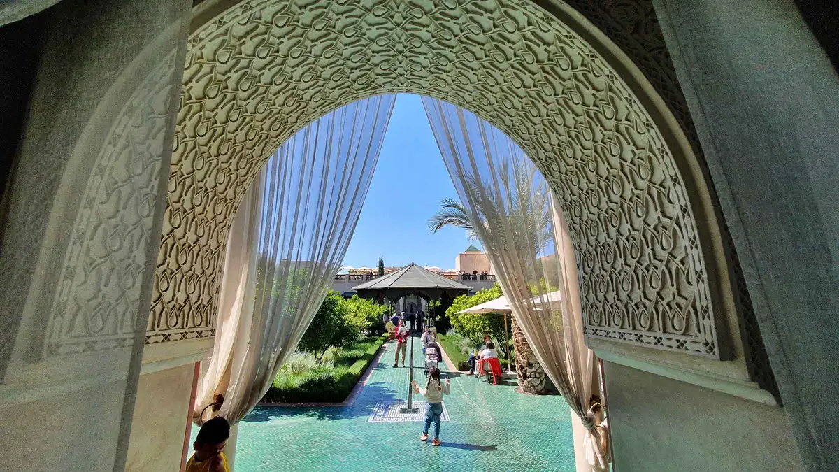 from $66.35
Marrakech: Tailor-Made City Tour With Your Own Private Guide
listed at $66.35
Half or full-day private tour built around what you ask to see, with pickup included. Up to two sights on the half-day and four on the full day; entrance fees are not included.
Check Availability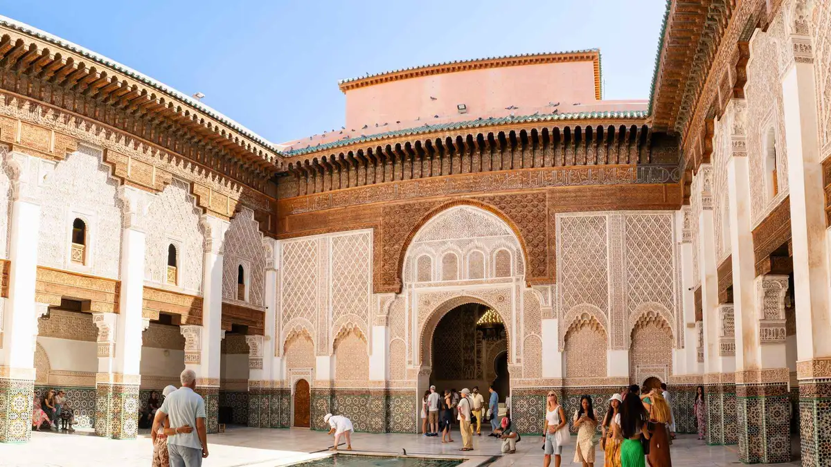 from $17.47
Marrakech: Historical Monuments, Souks & Medina Guided Tour
listed at $17.47
Four-hour licensed-guide circuit of the medina monuments, souks and lanes, with a WhatsApp briefing the day before. Private option includes riad pickup; monument tickets are separate.
Check Availability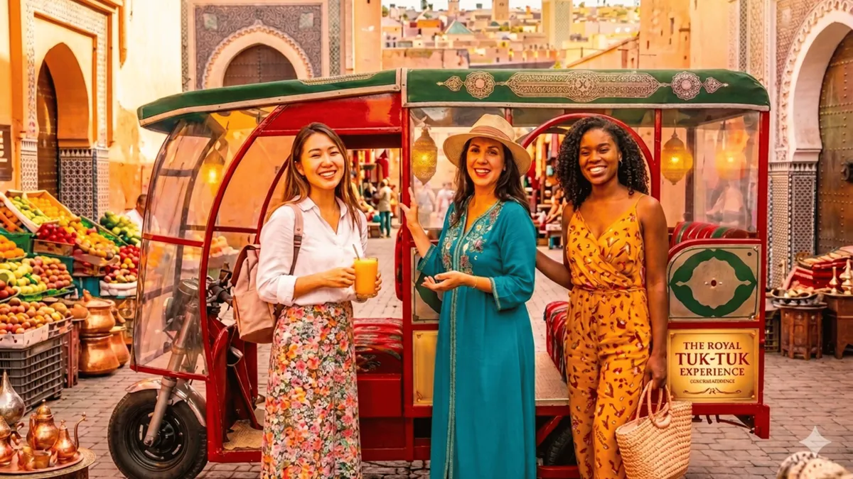 from $16
Tuk Tuk Marrakech Private Tour: Audio guide, Gift & Pastries
listed at $16
One to three-hour private tuk-tuk circuit with an audio guide, pastries and a gift; a driver, not a guide, is provided. Monument tickets are not included and Majorelle tickets have to be bought online first.
Check Availability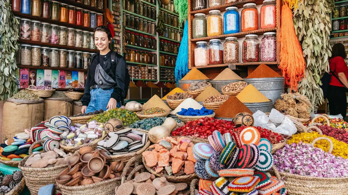 from $17.90
Marrakech: Colorful Medina Souks Guided Walking Tour
listed at $17.90
Three-hour guided walk through the dyers', metalworkers' and spice souks with a local guide. Sold as a shared small group or a private walk, pickup optional.
Check Availability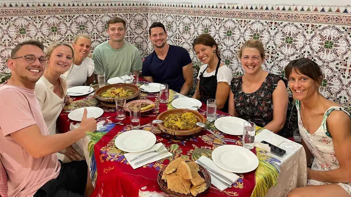 from $38.70
Marrakech Traditional Moroccan Cooking Class & Food Market
listed at $38.70
Two-and-a-half to three-hour cooking class starting with a market shop, then a tagine cooked and eaten at the workshop. Only people booked on the class can attend.
Check Availability from $44.78
Marrakech: 2-Hour Traditional Moroccan Hammam Experience
listed at $44.78
Two-hour traditional hammam with black soap, kessa scrub and a massage at a city spa. No transfer included, so you make your own way there.
Check AvailabilityPrices, ratings and details are the platform's own, checked in Q3 2026; dollar figures are the listed prices — the platform bills in your account's currency.
Where You Can Actually See The Period
There is no protectorate museum in Marrakech and no marked trail, so the period has to be read off buildings that were doing something else. Four are worth the detour.
The first is the Bahia, which housed the French resident-general from 1912. That occupation is the reason the palace is in repair at all: a building in official use gets a roof kept on it, where the Saadian ruin down the road did not. The second is Dar Si Said, the house of a vizier's brother, which was converted into a museum of Moroccan art and woodcraft during the 1930s and reopened after renovation in 2018 as the national weaving and carpet museum. A colonial administration turning a private palace into an ethnographic museum is the period's characteristic gesture, and the collection is still organised around it.
The third is the garden in the new town, which is a French painter's private project turned into the city's most visited paid site. The fourth is the new town itself, walked rather than visited: Avenue Mohammed V from the wall outwards, the set-back facades, the plane trees and the pavement cafes, none of which exist on the other side of the ramparts and all of which are a century old. Give it 60 minutes in the late afternoon and the two cities stop being an abstraction. The avenue runs about 2 km from the wall to the far end of the district, which is a comfortable walk in either direction.
The resident-general's occupation of the Bahia is recorded on the Ministry of Culture's notes for the monument; the 1930s museum conversion and the 2018 reopening are from the English Wikipedia article for Marrakesh. Read in Q3 2026.
Questions About 1912 And What It Left Behind
When exactly did the protectorate begin?
The French Protectorate in Morocco was established on 30 March 1912, and French forces took this city in September of that year after the Battle of Sidi Bou Othman. The arrangement lasted 44 years; the protocol granting independence was signed on 2 March 1956. The pasha appointed in 1912 held the post for virtually the whole period.
Was anything demolished inside the walls?
Not on the scale seen in other colonial cities, and the evidence is UNESCO's own boundary description: the inscribed property is defined by the original ramparts, which enclose all the requisite attributes. Building went on outside the walls instead. The Committee that inscribed the property in 1985 specifically recommended avoiding any breaching of those ramparts in future.
Why does the new town look European?
Because it was laid out as a separate settlement on open ground, on a grid, with pavements and avenues sized for vehicles, at a moment when the old city was left to its own street pattern. What that produces is two towns with two logics a few minutes apart. The district page covers what is there now, from the census figures to the two museums at its northern end.
Is there a reliable founding date for the new district?
Not one we could source. Popular accounts variously give 1912 and the early 1900s, and no Moroccan government site publishes a founding document, a date or a boundary map for it. We print both claims as contested rather than pick one, and rely instead on datable buildings: a hotel in 1925 and a garden begun in 1923.
How does any of this affect where I should sleep?
Directly. Inside the walls the last part of the journey to your door is usually on foot, sometimes for 200 m or more through lanes no car enters; outside them a taxi pulls up at reception. That is the single biggest practical difference between the two halves of the city, and it is the frame the where-to-stay page uses.
Can I see anything from the period as a visitor?
There is no dedicated museum, but four things read the era well: the nineteenth-century palace that housed the resident-general from 1912, the vizier's house turned into a state museum in the 1930s, the painter's garden begun in the new town in 1923, and Avenue Mohammed V itself. Thirty minutes on foot along that avenue does more than any plaque.
Both Cities, Filmed Side By Side
Three walking films that make the contrast obvious: the new town on its grid, its avenues at street level, and the lanes on the other side of the wall.
Europe in Morocco? Gueliz neighborhood of Marrakech [4K - 60fps]
The new town walked end to end, which is the fastest way to see what 1912 actually built.
Video: Walks and AdventuresExploring Gueliz: The New City of Marrakech
The same district at street level, including the avenues and set-back facades described above.
Video: SalimLost in the Souks of the Marrakech Medina (incl. Jemaa El-Fna and Koutoubia)
The city inside the ramparts, for the contrast that the whole of this page is about.
Video: Walks and AdventuresVideos load from YouTube only when you press play.